
The northern shore of the island Mors is well known for its special landscape which has many formation of special clay. The clay was formed 56 million years ago on the bottom of the ocean which used to be at this location. It took a couple of million years to form a layer at the bottom of the ocean which was about 60 meters deep. The clay was formed by algae living in the deep ocean.
View at Hanklitt from the bottom 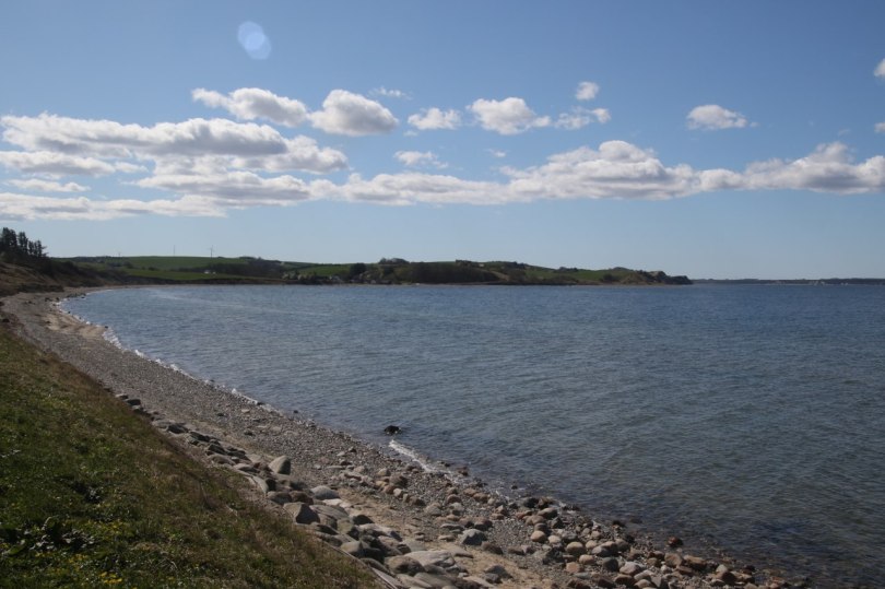
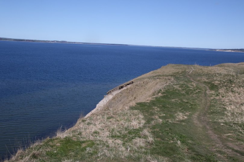
View from the beach at Hanklitt 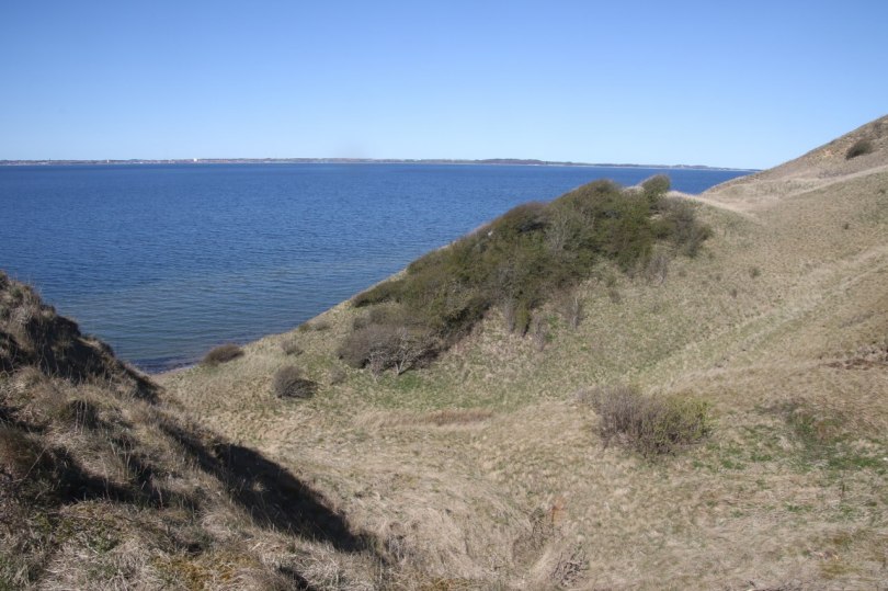
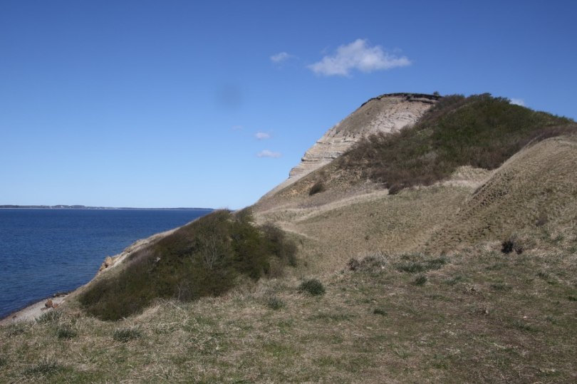
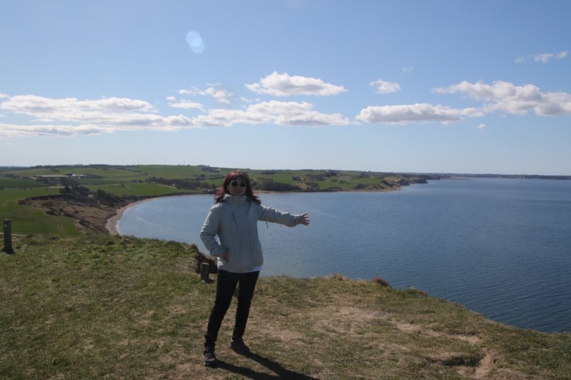
View from Hanklitt 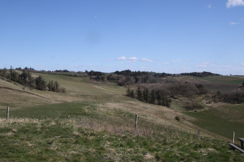
Landscape behind the Hanklitt
The clay was safely tucked away under the surface of the ocean for millions of years – but about 20,000 years ago the area was covered by ice. The moving ice pushed some of the clay up above the surface of the water and formed what looks like very colourfull cliffs.
The clay consists of different layers of clay – there are a total of 200 different colours in the clay which makes it interesting to look at the different layer at places where it is clearly visible.
The top of Hanklitt 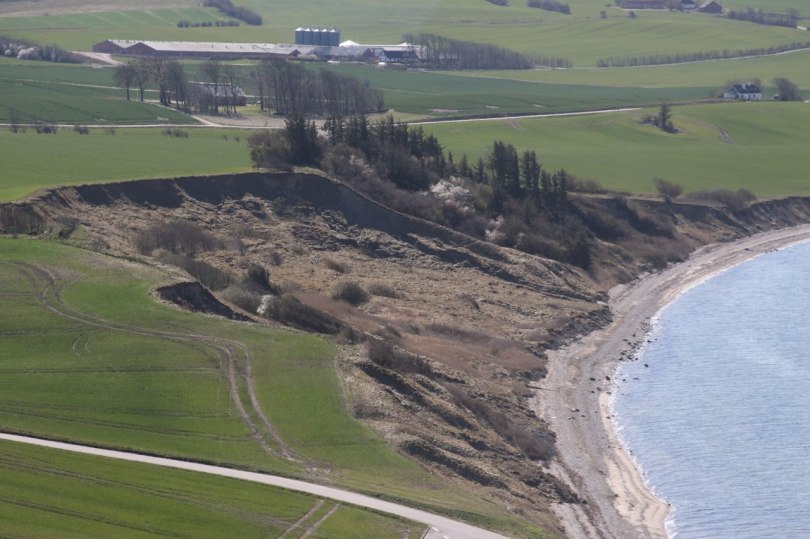
The earth collapsing belwo Hanklitt 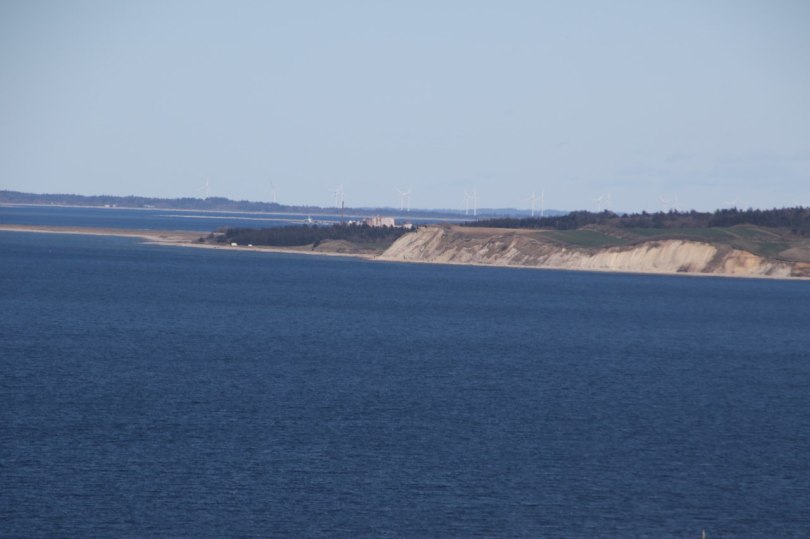
View of other clay on Mors 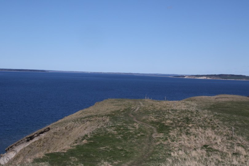
Cliff around Hanklitt
There are many different places where the clay is stretching right down to the sea around the island. The tallest of the clay cliff is called Hanklitt. It is located right at the water’s edge at the northern shore of Mors. You can walk to the top from the bottom. The hike is a bit steep at places but it is manageable to reach the top of the hill.
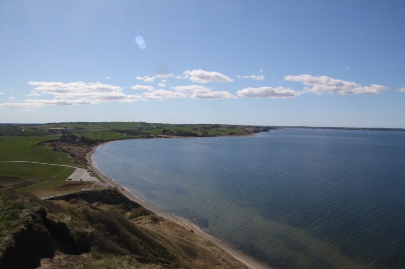
When you make it to the top of the hill you are at the high point in the area so you can enjoy the view of the surrounding area and the large island of Vendsyssel on the other side of the water. Unfortunately you can’t really see the clay cliff when you are standing on it – you will need to be at the bottom or preferably at a distance from the cliff.

2 comments