

From Blåvands Hug we drive out to the youngest piece of Denmark. The area called Skallingen used to be a low lying area but during a huge storm of 1634. This was a huge storm which brought a lot of destruction along the southern part of Denmark and all the way down to the Dutch Border with Germany. The huge storm killed thousands of people and destroyed several towns along the coast completely – but it also did leave this part of land behind.
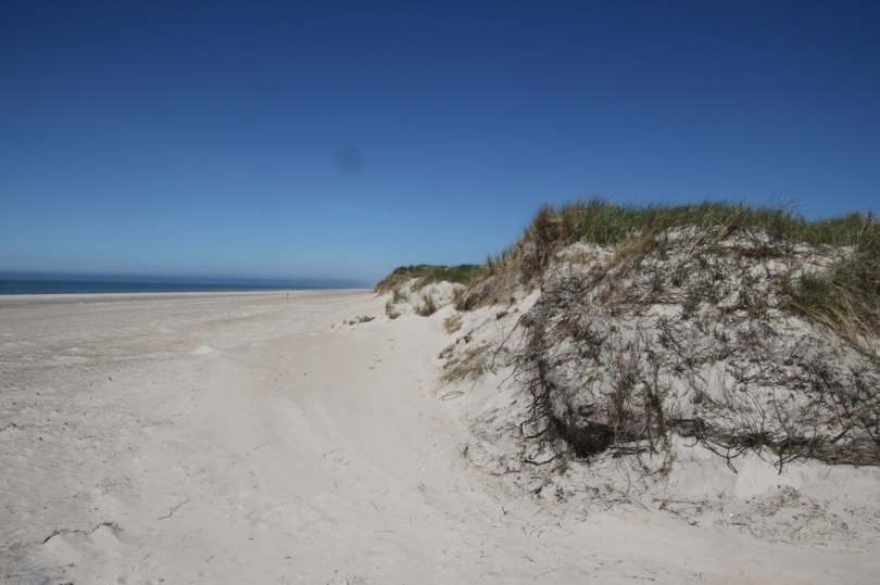
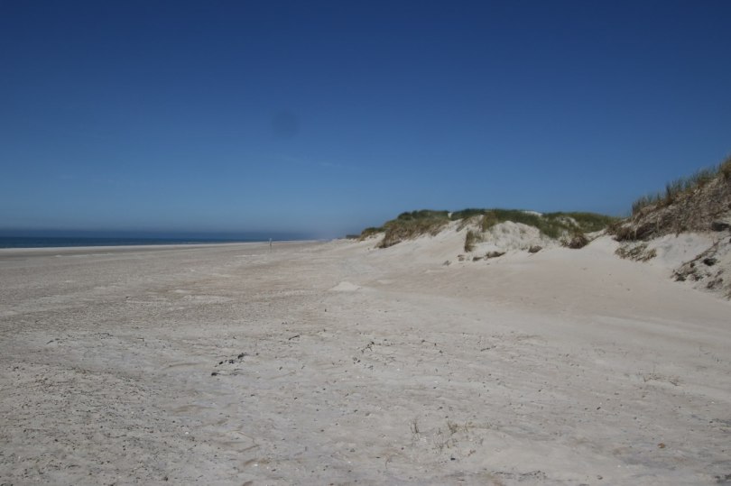
The area of Skallingen is a sandy area which is still changing its shape with every storm which strikes this part of the coast frequently during the fall and winter.

The area is today a nature reserve which is left more or less as a wildlife reserve for the birds. There are a few livestock out here which is allowed to roam freely to make sure they eat any new tree which would try to get to live in this windy area. The cows and sheep’s make sure the landscape remains an open area for the birds to enjoy instead of a forest which it would turn into without the livestock.

We drive out into the area along a small one lane road which is a bit windy but the vegetation of the landscape is low so it is easy to see the oncoming vehicle so you can stop at one of the turnouts along the road.
At one point on our drive we have to stop not because of the other cars but due to another car but because a group of cows decide they want to cross the road just in front of us. The cows don’t seem to be busy crossing the road so we just have to wait for a while until they cross the road. This area out here is one of the few places in Denmark where you drive through an unfenced area.
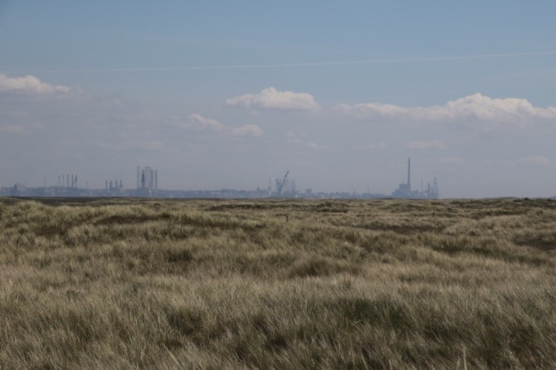
When we get to the end of the road we park the car and go to the beach. From the beach we can see the buildings in Esbjerg which is the biggest Danish port on the west coast of Jutland which used to be the main port for the export of butter and bacon to England from the late 19th century and for the following century and a half.
The location of the harbor was the reason for a bad part of the history of this area. During the Second World War the Germans feared an invasion along the coast of Europe. The location of Skalling right next to Esbjerg meant the Germans were particular nervous about an attack close to the harbor – hence they did make a lot of defense in the area. The main part of the defense was mines which were laid out in huge numbers.

The mines at this area were laid without a map at all – not that it mattered much since the coastline around here would continuously move with every storm – hence a map would become obsolete in no time. After the war the mines were a huge headache – it would be impossible to walk around this area in the foreseeable future unless the mines were removed and livestock wouldn’t be able to go out here and grass without an imminent threat of them getting blown up.

The solution was to remove the mines by hand. The agreement after the war was to let the German soldiers clear the minefields of this area and along the rest of the west coast of Jutland. The Germans cleared the minefield – and when they had cleared an area the troops who had been responsible for clearing the minefield had to walk across the minefield. This practice was clearly in violation of the rules concerning the treatment of prisoners of war but nobody seemed to care. The mines were clear and today the area is safe to walk around.

The long, deserted-looking beach is very appealing and I enjoyed reading the interesting WW2 history…scary about how the minefields were cleared!
LikeLiked by 1 person
I can imagine – I just read how they cleared the Danish minefields – but I guess it wasn’t much better in the actual battlefield.
LikeLike