
There is a lot of fog this morning hence the view of the top of the hills on the islands is none existing this morning. When we drive out of Thorshavn we have to choose between the old road through the hills or a tunnel at lower elevation. We drive by the turn off to the hill road – and it is pretty clear the visibilities in the hills is at best 100 meters – so there is no point off going up the hill and see nothing so we choose to drive the new road through the long tunnel.
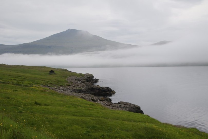
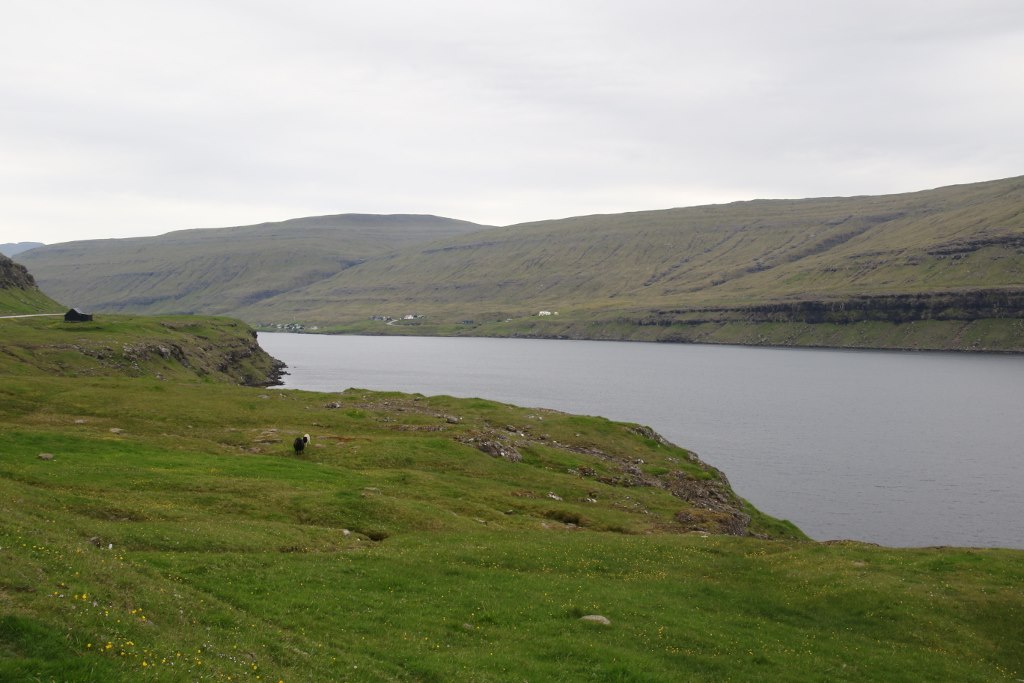
When we get through the tunnel the visibility is slightly better and we can see a little bit of the pretty coastline. Most of the roads on the Faroe Islands are located right next to the sea – the islands aren’t that big and the middle is generally occupied by a large hill which is a bad spot for placing major roads. As we drive along the road on the east side of the main island Streymoy we get a good view of Eysturoy island which is the second biggest of the islands in the island group.
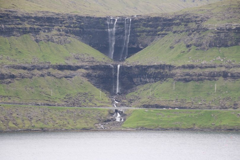
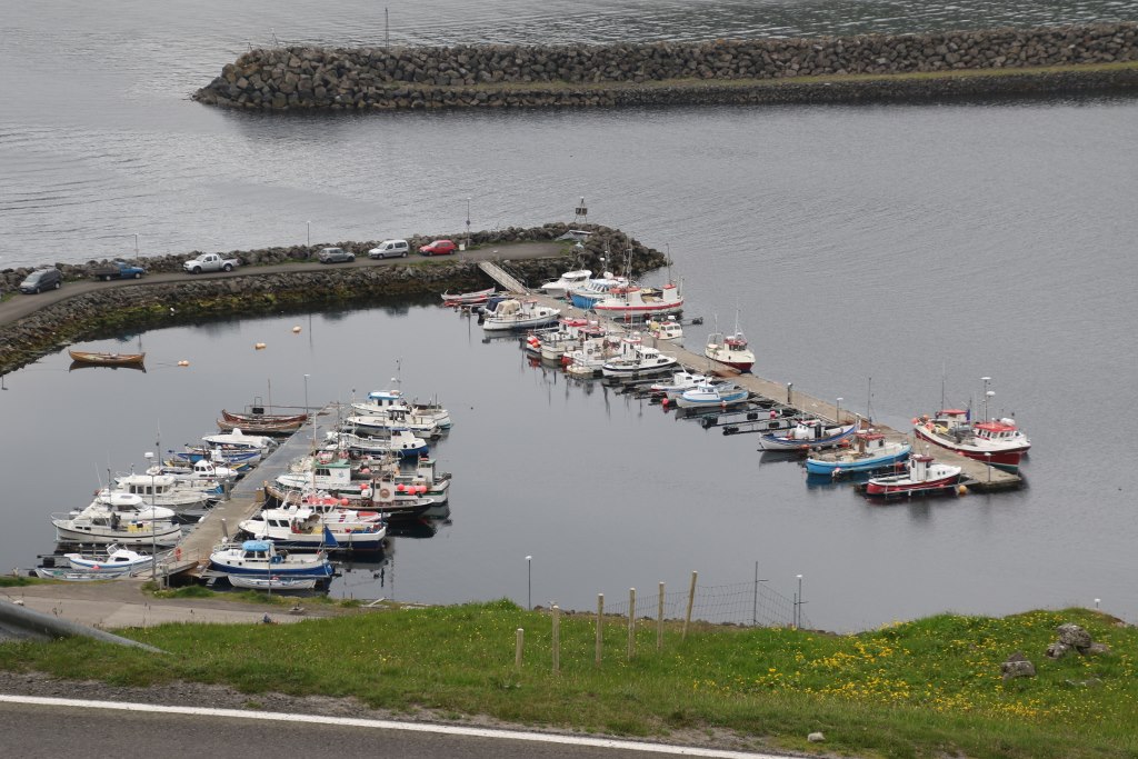
When we look across the water the damp condition ensures there is a lot of water around and there are several waterfalls flowing down through the hill sides across the small water area. Down in the fjord are some strange looking circles flowing around the water. This is the source of one of the main incomes of the islands – a huge salmon farming industry. Every time you see some water which is sheltered from the harsh weather of the north Atlantic there seems to be several of these round underwater cages producing thousands or millions of salmons every year.
We reach the main bridge on the Faroe Islands – the Atlanterhavsbroen – or Atlantic Ocean Bridge. This is the first connection ever built between two different islands on the Faroe Islands back in 1973. Before this bridge was built the only way to go from one island to another was by ferry. It is hard to see how this bridge really helped bringing these two main islands on the Faroe Islands closer together back in the day.

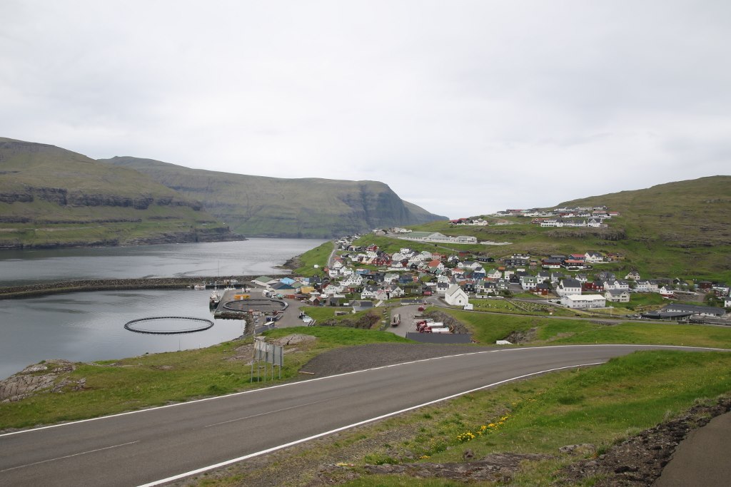
From the bridge we turn away from the main highway on the islands and go north instead. We drive along the shore again and now we have switched islands so we look from Eysturoy to Streymoy now. The water between the two islands is pretty narrow so it is almost like one island with a river between them.

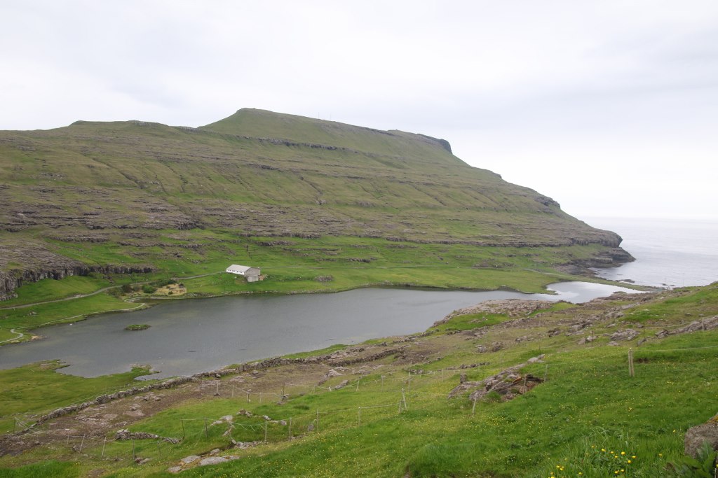
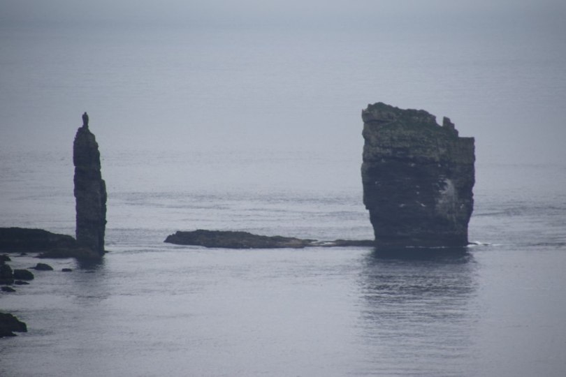
As we leave the bridge the population numbers drops significantly – there isn’t a lot of people up at the northern end of Eysturoy Island. The fog has disappeared so we can see the coast on the other side of the water but up on the hills there is still some low hanging clouds sticking around. We get to the northern end of the island and up here we can see two cliffs standing in the water. They are located just north of the island and really stand out. The two cliffs are called Risin and Kellingin. According to local legend these are the stony remains of two giants who tried to pull the Faroe Island up to Iceland – they didn’t succeed so the islands are still standing tall alone in the middle of the North Atlantic.

Even with fog it looks beautiful.
LikeLiked by 1 person
It does. By this time the fog had cleared a bit. Before visibility was very poor.
LikeLiked by 1 person